Tsunami Warning Systems
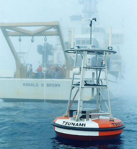
An early warning system already exists in the Pacific Ocean and one is currently being installed in the Indian Ocean after the devastating Tsunami hit South East Asia in 2004. There are different methods enabling to prediction: Although seismic gauges can detect the earthquakes and volcanic eruptions that cause a tsunami, they are not suitable […]
Observing the earth
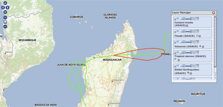
Satellite images and geographic data provide an important resource for predicting, identifying and observing natural disasters and for coordinating prevention measures and relief efforts. One class of earth observation instruments are optical detects of solar energy, reflected back from earth, into space across various wavelengths, including visible light and invisible infrared bands. Radar instruments shine microwave […]
Lastexitflucht
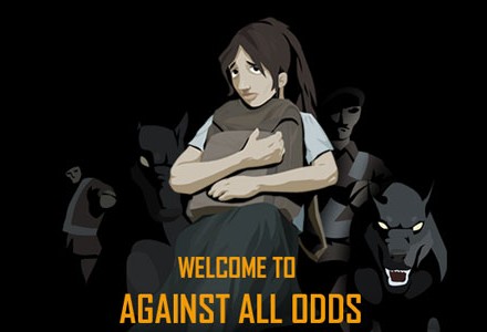
Lastexitflucht is an online game made for young people and initiated by the UNHCR. It is designed to inform youth about forced migration and enable them to understand the life of refugees. The project consists of three levels: an online-game, a “facts-web” and a site for teachers with lesson materials regarding refugees. In the game, […]
Building Letters / Font Aid
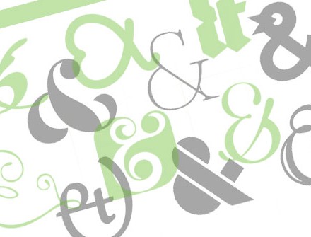
Font Aid is a project initiated by the SOTA Society of Typographic Aficionados and by Building Letters, in an effort to contribute to the typographic work of designers and to raise money through sales for victims of disasters and people in need. Building Letters is an annual graphic publication whose profits are donated to charity […]
Designed To Help …
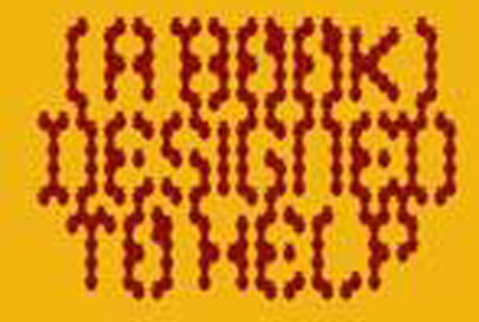
British graphic designer firm, iLovedust and their German partner, Die Gestalten have arranged Designed To Help, a book of graphic artwork that will donate sales to Tsunami relief. In the aftermath of the Southeast Asian Tsunami 26/12/04, the two initiators distributed a request to design agencies around the world to hand in graphic designs, illustrations […]
Mella Jaarsma
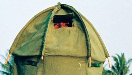
Mella Jaarsma is a Dutch-Indonesian artist who creates clothing for installations and performances that deal with the themes of ethnic differences and the situation of refugees. Born in 1960 in Emmeloord, The Netherlands, the Dutch artist moved to Jakarta, Indonesia, in 1984, where she has been living ever since and now works both as an […]
Google Earth and EAARL (NASA)
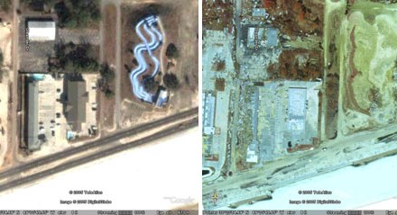
A cooperation between Google Earth and the EAARL (Experimental Advanced Airborne Research Lidar), a mapping programme of the NASA, has made accessible, a tool for analyzing the advance of natural disasters and drawing conclusions for future protection. Google Earth is a programme by Google that any private or professional person can install on his or […]


