Map system tracks hurricane / escape routes

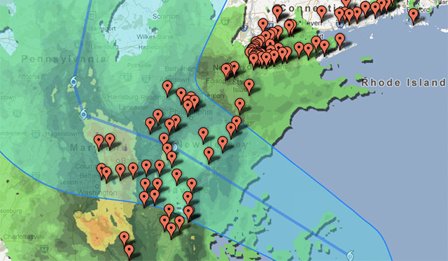
Google has updated its Crisis Map to cover Hurricane Sandy, with a view to helping people survive the weather event. The map can be used to track the storm, as well as provide regional alerts and other information that would be useful in such an emergency, and is similar to the Crisis Map used by those affected by Hurricane Issac.

SOURCE:
Leave A Comment

Design for disaster - aid, victims, information, communication, knowledge, experiences, ideas, projects
Privacy Overview

This website uses cookies so that we can provide you with the best user experience possible. Cookie information is stored in your browser and performs functions such as recognising you when you return to our website and helping our team to understand which sections of the website you find most interesting and useful. More information about our Cookie Policy