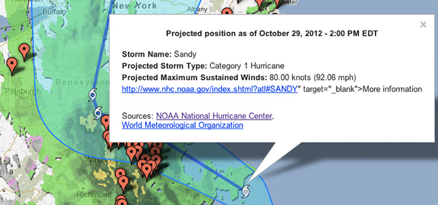
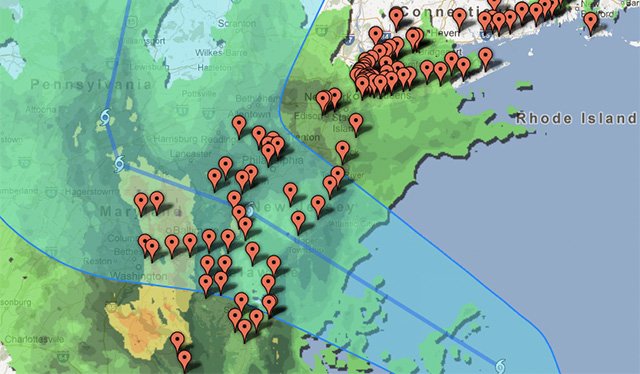
Map system tracks hurricane / escape routes
Google has updated its Crisis Map to cover Hurricane Sandy, with a view to helping people survive the weather event. The map can be used to track the storm, as well as provide regional alerts and other information that would be useful in such an emergency, and is similar to the Crisis Map used by those affected by Hurricane Issac.

SOURCE:


